Washington on the Brazos
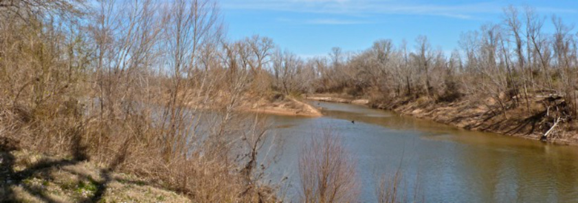
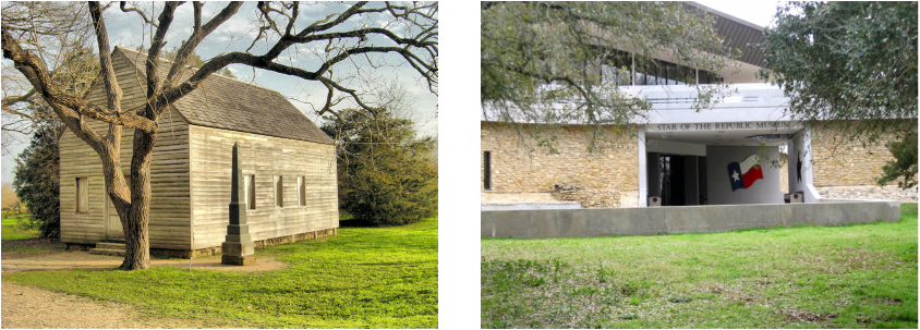
Washington on the Brazos is located one mile southwest of the junction of the Brazos and Navasota Rivers, seventy miles northwest of Houston. Washington once served as a major political and commercial center to Texas. By 1835, Washington became a supply point due to its location by the river, the town attracted new merchants and tradesmen. That year, the town became General Sam Houston’s headquarters and the concentration point for the Texan army volunteers. Between March 1, 1836 and March 17, 1836, the Texas Declaration of Independence was signed at Washington on the Brazos. Washington flourished economically, even after the capital was moved to Austin in 1845.The decline of Washington-on-the-Brazos came in 1858 when Washington refused to pay the Houston and Texas Central Railroad to link the town to the projected railway. By 1889, most residents moved to the neighboring towns of Navasota and Brenham. Most of the town site became cultivated fields. Today, the once prosperous town of Washington is home to Washington on the Brazos State Historic Site and Star of the Republic Museum. The historic site has been restored, containing a replica of Independence Hall and the Barrington Living History farm, which includes the last president of the republic Anson Jones’ home.
BIBLIOGRAPHY
Carole E. Christian, "WASHINGTON-ON-THE-BRAZOS, TX," Handbook of Texas Online
BIBLIOGRAPHY
Carole E. Christian, "WASHINGTON-ON-THE-BRAZOS, TX," Handbook of Texas Online
Directions:
Heading south on Highway 6 to Navasota. From Navasota, take Highway 105 west 7 miles and turn left on FM 1155 to Washington-on-the-Brazos State Historic Site.
Latitude (degrees, minutes, seconds) N: 30° 19' 32.77"
Longitude (degrees, minutes, seconds) W: 96° 09' 15.94"
Heading south on Highway 6 to Navasota. From Navasota, take Highway 105 west 7 miles and turn left on FM 1155 to Washington-on-the-Brazos State Historic Site.
Latitude (degrees, minutes, seconds) N: 30° 19' 32.77"
Longitude (degrees, minutes, seconds) W: 96° 09' 15.94"


