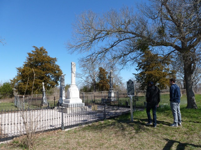
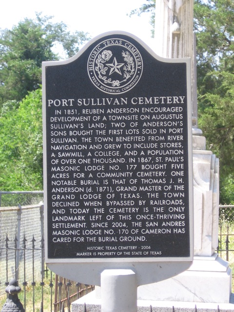
Port Sullivan, Texas
Port Sullivan was located on the western bluff of the Brazos River near today's FM 485. Established by 1851, Port Sullivan became the northern most point on the Brazos River that Steamboats could travel. This advantageous location allowed Port Sullivan to grow into a booming community with 680 inhabitants and included numerous businesses and the Port Sullivan Male and Female College.
After the Civil War and increased importance of the railroad, Port Sullivan began to decline when the railroads bypassed the town in favor of neighboring Hearne and Calvert. The town had all but disappeared by the 1890s.
On last attempt was made by the US Army Corps of Engineers to use the Brazos as a major transportation corridor in the 1910s-1920s. The Corps built a series of locks throughout this region of the Brazos River but these locks were never viable and today their remains serve only as ruins along the Brazos River.
BIBLIOGRAPHY:
John Martin Brockman, Port Sullivan, Texas: Ghost Town (M.A. thesis, Texas A&M University, 1968).
Directions:
Heading north on Highway 6, go to Hearne (about 16 miles) and Take a left turn onto F.M. 485 and head west for approximately 6 miles. After crossing the bridge over the Brazos River, the first county road on your right will be 259. Stay on CR 259 for about 1 mile and you will see the historic market and just north will be the cemetery.
Heading north on Highway 6, go to Hearne (about 16 miles) and Take a left turn onto F.M. 485 and head west for approximately 6 miles. After crossing the bridge over the Brazos River, the first county road on your right will be 259. Stay on CR 259 for about 1 mile and you will see the historic market and just north will be the cemetery.


